The lagoon, the drainage basin,the Northern Adriatic
Three territorial unitsclosely connected
Local defenceof urban centers
100 km of interventionson the urban shores and banks
Securingof polluted sites
Improvement of the waterand sediment quality
Reinforcementof the littorals
63 km of new beachesand 11 km of new breakwaters
A major environmental, coastal and urban protection plan
Measures for the safeguarding of Venice and the lagoon
The lagoon ecosystem
Three territorial units closely connected by their reciprocal exchanges
The Lagoon
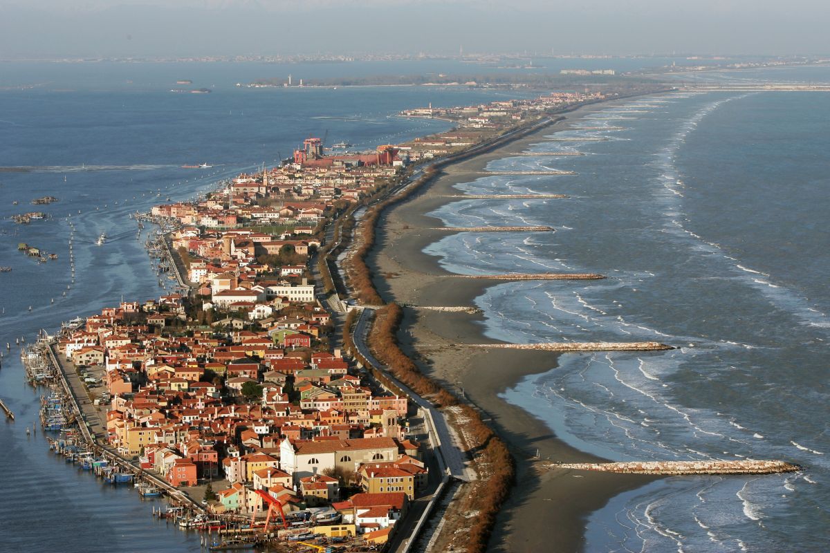
With its 550 km2 of surface area is the largest wetland of the Mediterranean. It is divided from the sea by a strip of barrier islands, the littoral, that runs for about 60 km, interrupted by the lagoon inlets of Lido (800 m wide), Malamocco (400 m wide) and Chioggia (380 m wide). Inside the lagoon basin are Venice, Chioggia and more than 50 islands, among which Murano, Burano and Torcello; about 40 km2 of salt marsh (low-lying areas which are covered with halophytic vegetation); a 1,500 km network of canals that ensures the propagation of the tidal currents. The depth of the lagoon is generally between 1 m and 3 m.
The drainage basin
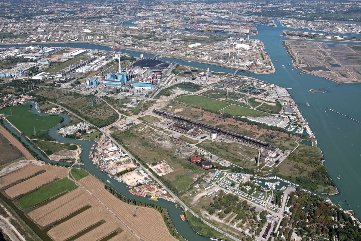
The drainage basin is the part of the mainland that channels fluvial waters and rainwater into the lagoon. It has a surface area of about 2,000 km2 that is crossed by a hydraulic network that pours about 2.5 million m3 of water a day and about 30,000 m3 of sediments per year into the lagoon in 27 different places. Just over 70% of the area is used for agriculture. The drainage basin is divided among some 100 or so local authority areas in the provinces of Venice, Padua, Treviso and Vicenza, with a total of nearly 1 million inhabitants.
The northern Adriatic
It governs the lagoon ecosystem with its tides that enter and exit of the lagoon twice a day through the inlets, reaching two maximums and two minimums. It has been calculated that the volume of water exchanged daily between the sea and the lagoon is about 400 million m3. The average range of tide heights in the lagoon is about 1 m. Nevertheless, the tidal level is subject to important variations, above all in relation to astronomical and meteorological factors. When the tide grows to the point of provoking floods in the historic centres of the lagoon, the so-called phenomenon of "acqua alta" occurs.
Defence from floods
100 km of quaysides raised
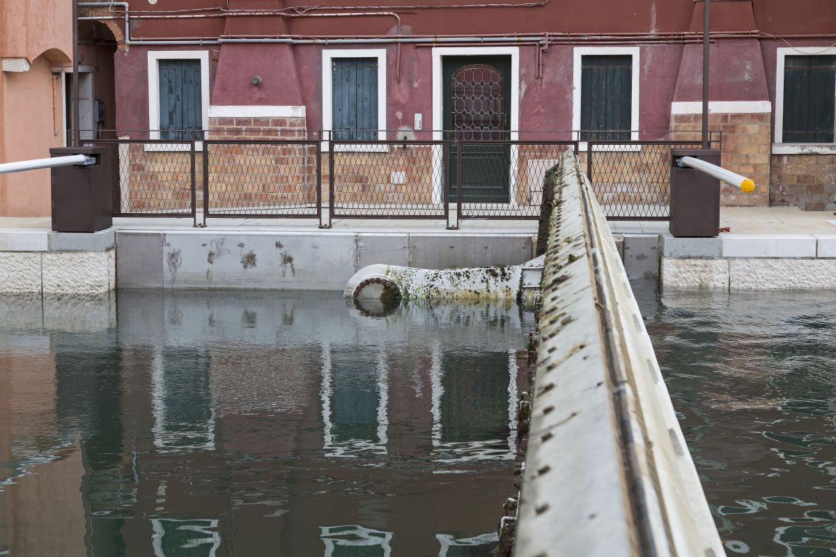
Local defence of urban centers
Integrated with construction of the Mose, these measures involve "raising" quaysides and public paved zones in the lowest-lying parts of urban areas. It entails complex work in order to also avoid even the filtration of water from the subsoil and to secure the ground levels of buildings.
The mobile barriers to safeguard Venice from floods consist of a series of gates at the Lido, Malamocco and Chioggia inlets. The gates enable the lagoon to be isolated from the sea in the event of danger. thanks to its funcional characteristics and management flexibility, the barriers guarantee not only total protection from floods, but also safeguard port activity, water quality and lagoon morphology.
Environmental defence
Improvement of environmental resilience
Protection of lagoon habitats
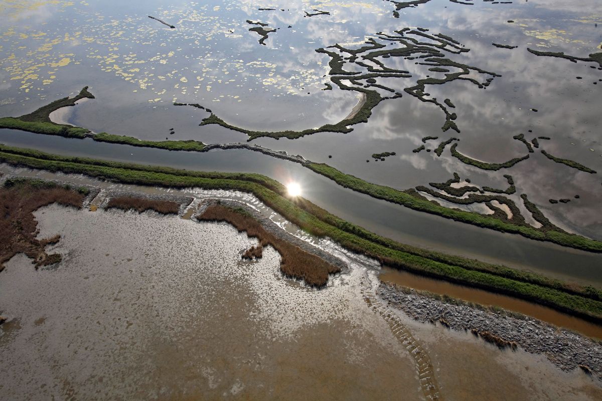
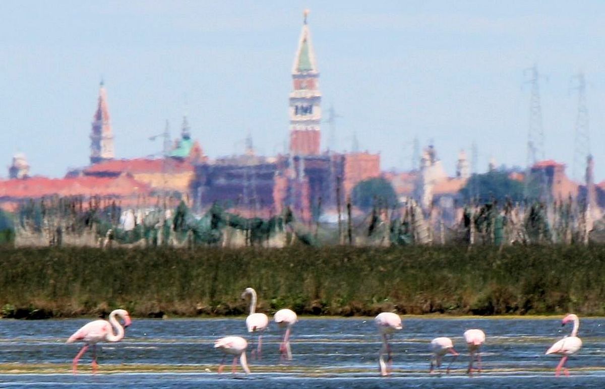
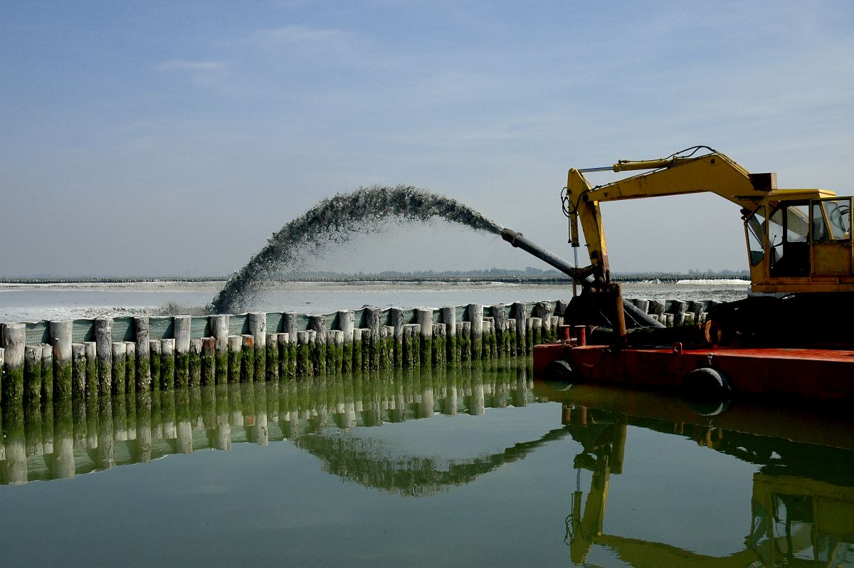
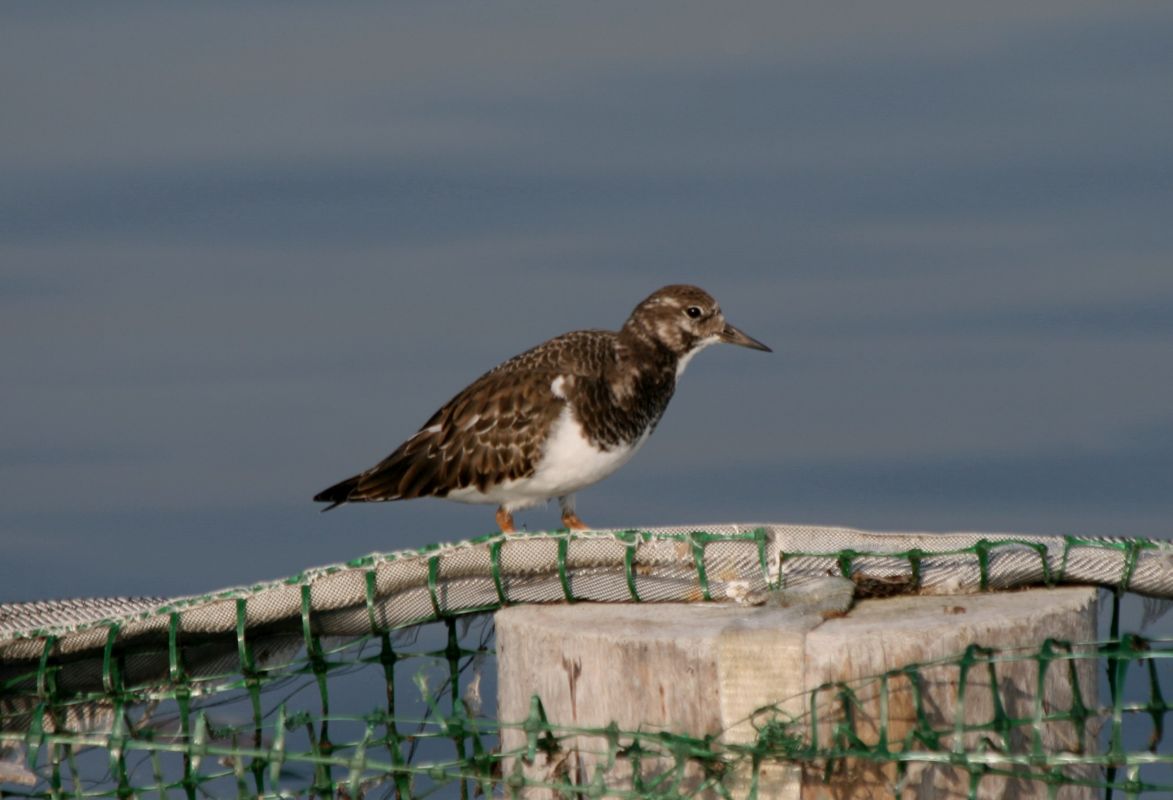
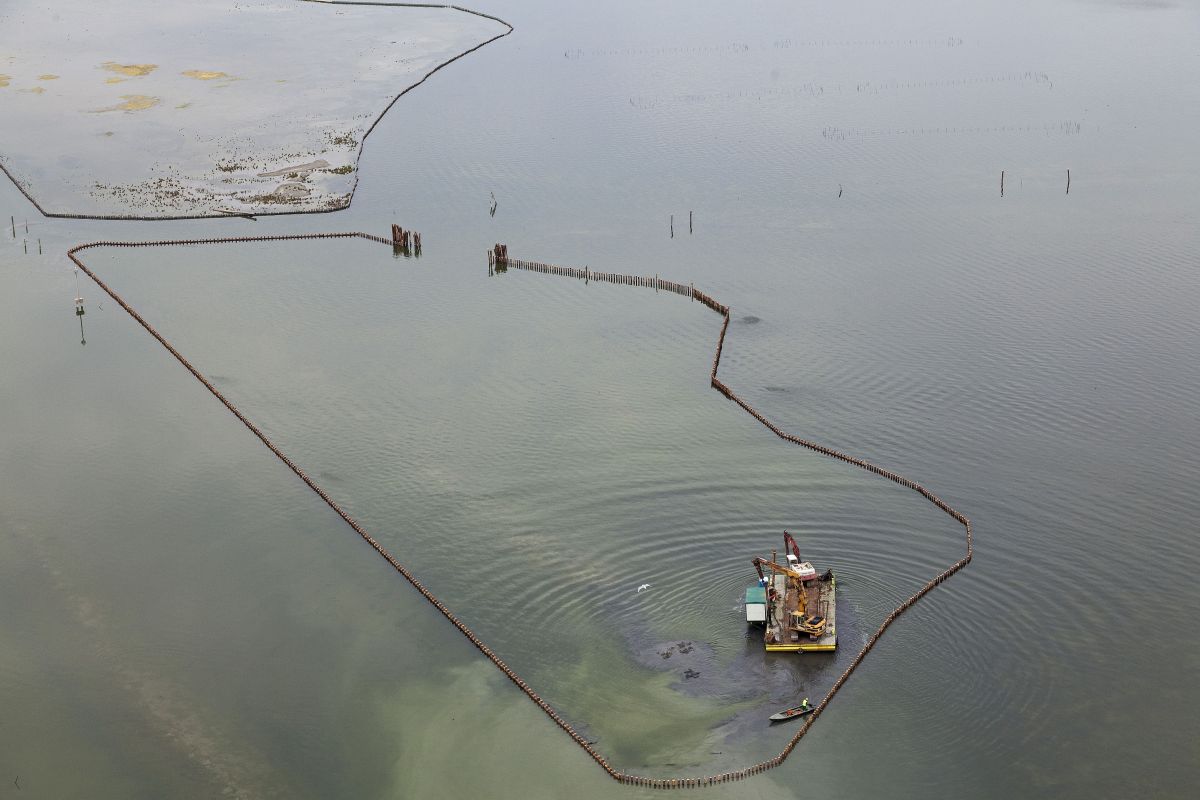
The objective of the measures is to safeguard habitats such as salt marshes, mudflats and shallows, which guarantee essential ecological and hydrodynamic functions and ecosystem biodiversity. The activities involve a series of restoration and protection measures ranging from actual reconstruction to morphological restoration and experiments involving techniques able to accelerate the formation of diversified habitats. Many species of waterfowl found in artificial salt marshes a perfect setting to rest, feed and, in many cases, nest. Today the lagoon of Venice is one of the most important sites at national level for the conservation of characteristic wetland waterfowl.
Securing of polluted sites
The main activities involved isolating the polluted land to block the dispersion of contaminants from the canal shores in Porto Marghera and from dumps used in the past to dispose of industrial waste. Other activities involve the creation of “phytobiopurification” areas – special wetlands between the mainland and lagoon able to filter the water coming from the mainland and reduce the content of pollutant.
Defence from sea storms
63 km of new beaches and 12 km of coastal dunes
Reconstruction of the beaches
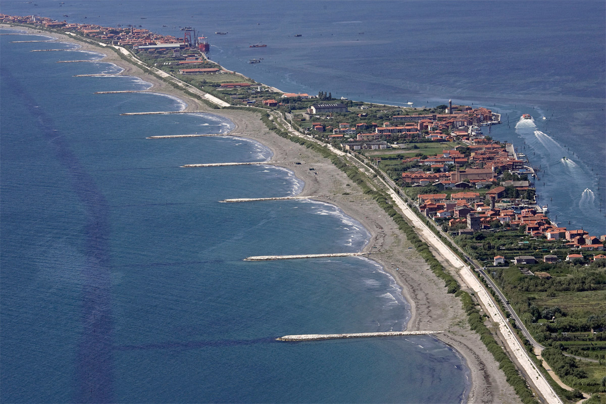
Measures to defend the Venice littoral affect about 63 km of coastline and are aimed at opposing erosion and protecting the lagoon and inhabited areas near the sea from sea storms, while also improving the landscape and environment of the coastal strip. These are the most important protected beach reconstruction projects ever implemented in Italy on an eroding coastline, in line with the most advanced techniques of modern coastal engineering, attributing great importance to the role of the shore for its capacity to dissipate wave energy. This system of sea-side interventions is integrated with the programme of measures underway for the lagoon-side defence of inhabited areas on the coastal strip from high tides.
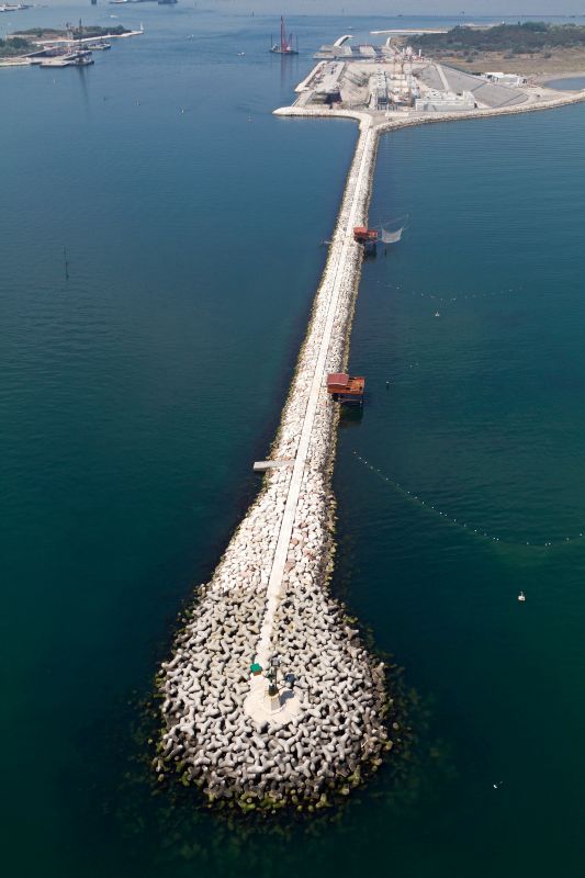
Reinforcement of breakwaters
The work completed on the jetties at the lagoon inlets between 1994 and 1997 has enabled the jetties to be consolidated and the long process of deterioration to be definitively opposed. In the past, ordinary maintenance had managed to cope with the most immediate damage, without, however, eliminating the causes. Work has been completed on all 6 jetties, for a total length of 11 km. These types of intervention were applied to each of the jetties as the critical conditions of all were very similar. They were, however, adapted to the different and specific needs of each, in line with their historical and aesthetic value. Blocks of rock were thus preferred for the cladding and the existing slopes and height of the crowning rocks were maintained for the visible parts of the jetties.


